Posts

week-6 Blog

Image
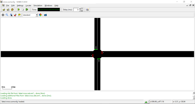
Hi all, This week I tried to run SUMOpy using SUMO. SUMOpy is a directory with python scripts The procedure followed for running SUMOpy are explained below - Again Assuming that Python 2.7.x, notepad++ and SUMO GUI is already installed - 1. Packages to be installed -    Python 2.7 numpy-1.10 or newer wxPython2.8 or wxPython2.9 (wxPython3.x is currently not properly working with PyOpenGL-3.0.x) PyOpenGL-3.0.x The following packages are optional: matplotlib-1.4 or newer, for high quality graphical output in different file formats. PIL-1.1.7 or newer and basemap-1.0 (or pyproj) for downloading background maps from map servers.    2.  Run sumopy_gui.py script -  Double click on the above script name in the sumo folder given below -  SUMOHOME/tools/contributed/sumopy If this thing fails then run sumopy with - python sumopy_gui.py in command prompt which will open SUMOpy.

Week 5 Blog

Image
Hi all, This week to run SUMOpy, I tried to run a few already present and designed SUMO network files using runner.py. The files are located in the following directory - SUMOHomeDirectory\SUMO_Win64\sumo-doc-0.30.0\docs\tutorial\traci_tls We need to click on runner.py and the files will be executed in the command prompt window in the background and opens SUMO for us to run the simulation -   Once the file is opened in SUMO, we can start the simulation -   I was able to run one more file which was pedestrian crossing which is located in the following directory - C:\Users\Avinash\Desktop\Avinash\SUMO_Win64\sumo-doc-0.30.0\docs\tutorial\traci_pedestrian_crossing We can follow the same procedure as done for the above file -   After opening the file, we can start the simulation -

Week 3 & 4 Blog

Image
Hi all, This week I tried to import San Jose City map in SUMO software and ran the simulation. The steps followed to do this is explained below - Assuming that you have already installed SUMO, Python 2.7.x and Notepad++ 1. Downloading the map from Open Street Map - Open Street Map contains the world map, free to use under an open license. In the search bar type San Jose and select the area you want to simulate in SUMO. After selecting the area click on the export button then you get different links from which you can download the city map, select any one of the links to download the map instead of again clicking export which usually fails. But, if you are a person who thinks why should I listen to this guy then you can go ahead and try your luck by clicking the export option. Now, save the .osm file as map.osm. 2. Copying the Code and pasting and modifying in Notepad - http://sumo.dlr.de/wiki/Networks/Import/OpenStreetMap  In this link go to Importing Additional Pol

Week 2 Blog

Image
Hi all, Welcome Back! This week I have been working on other Simulator Software which are available free online. 1. SUMO - I was able download Simulation of Urban Mobility (SUMO) software and required resources from the following link - http://www.dlr.de/ts/en/desktopdefault.aspx/tabid-9883/16931_read-41000/. SUMO is a free and open traffic simulation suite which is available since 2001. SUMO allows modelling of inter modal traffic systems including road vehicles, public transport and pedestrians. But, we cannot import the maps and build networks on SUMO itself. So, I have moved on from SUMO to some other Simulator which can be helpful for the project. 2. Ultra Global PRT - It is an engineering research project to devise the optimum urban transport solution for the 21st century, Ultra began development in 1995 in association with the University of Bristol. Ultra Global PRT is that we need to import map images into the software and then on the map we can select stations

Week-1 Blog

Image
Hi all, Hope everyone is doing good. The past week I was working on the Personal Rapid Transit simulators which were PRT sim and an app called PODARIS. PRT sim is a simulator software, which includes a GUI-based tool creating different path networks which incorporates  google maps data. I have run the software using one of the track builders. Podaris is an app where we can plan, engineer, present, and discuss projects more accurately, rapidly and transparently. I have designed one of the path network for SJSU campus which is available to public in the website.